
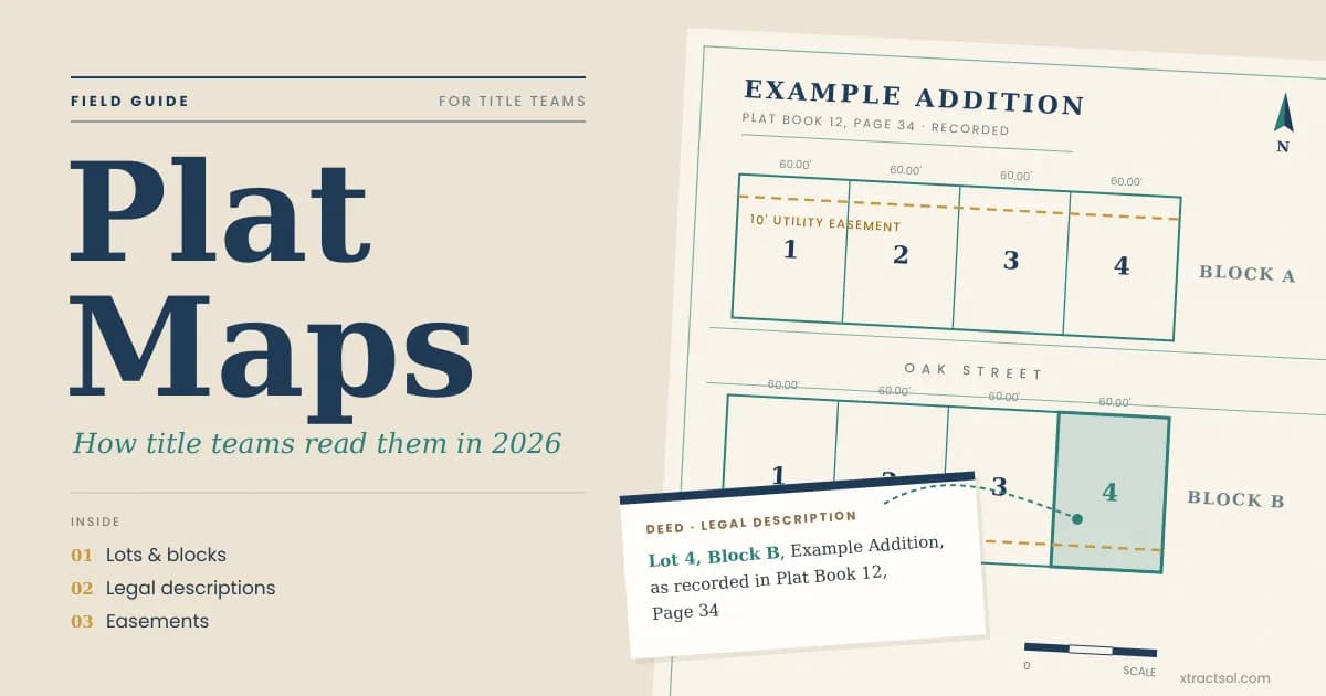
Plat Maps: How Title Teams Read Them in 2026
By XtractSol Team
• 6 min read
Plat maps look simple until a title file arrives with a faded lot line. Title teams need the recorded plat to confirm the parcel and match the deed's legal description. When those images sit in separate county portals, examiners lose hours gathering records before they can review anything. A missing plat image can stall a file, and a mismatched lot number can send the examiner toward the wrong parcel in the county records. XtractSol Agents search county land, tax, and court records in one pass, and OCR flags unreadable pages for the examiner.
Key Takeaways
- A plat map is a recorded map of lots, blocks, streets, and easements.
- The deed's legal description ties the parcel to the plat, often by lot and block.
- Examiners compare plats with deeds and easements before a commitment issues.
What Is a Plat Map?
A plat map is a scaled, recorded drawing that divides land into lots, blocks, streets, and easements, and it becomes the legal reference for each parcel in a subdivision. A licensed surveyor certifies the drawing, and a local planning authority reviews it before the county recorder accepts it.
A subdivision plat divides a tract into lots and blocks. Unplatted rural land is usually described by metes and bounds or by section, township, and range. A GIS property boundary map helps an examiner orient but carries no legal weight; the recorded plat controls. A survey measures a parcel; a plat covers a subdivision and enters the public record.
How to Read and Find a Plat Map
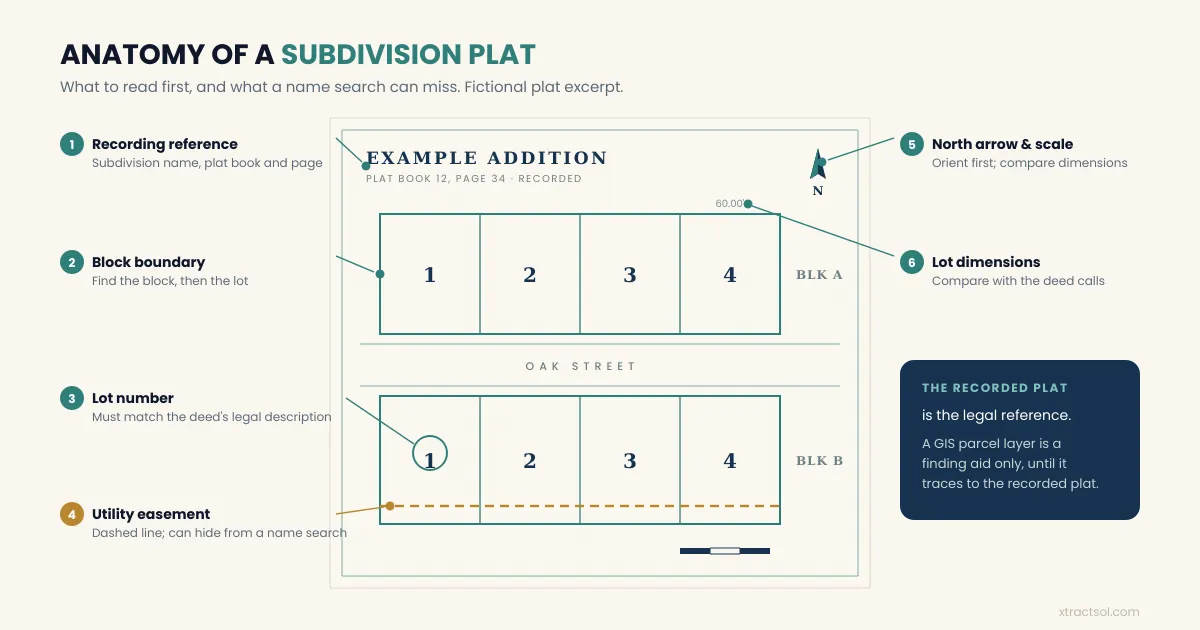
Reading a plat map starts with orientation. The legend, north arrow, and scale set the frame. Locate the block and lot, then check boundaries and dimensions. Dashed lines often mark utility and drainage easements, but the legend controls; edge notes show rights-of-way and setbacks.
Read the lot, block, and boundary lines
- Confirm the subdivision name, addition, and recording reference.
- Find the block, then the lot that matches the deed.
- Trace the boundary and compare dimensions with the deed calls.
- Note every easement, right-of-way, and setback note.
- Check the surveyor's certificate and look for any later replat, amendment, or vacation of the plat.
A lot and block description only works when plat and deed agree. If the deed cites a different addition, or the plat has since been replatted or vacated, search for the later recorded instrument.
Find plat maps in county records
Plat maps live with the county recorder or register of deeds, in a plat book or online index. GIS parcel layers are finding aids, not the record. Pull the recorded image and the deed that created the lot. Older subdivisions may exist on microfiche.
Why Plat Maps Matter in a Title Search
A title search traces ownership and encumbrances, and the legal description holds it together. If the description is wrong, the examiner may search the right name for the wrong lot. Recorded plats reduce that risk because they fix the lot, block, and subdivision in one image.
Plats also surface encumbrances that name searches miss. Public records in most jurisdictions are indexed by the names of the parties (ALTA; Cornell LII), so an easement dedicated on a plat can sit outside a name search for the current owner. Examiners who read the plat alongside the deed catch those burdens before a commitment issues.
Unplatted land needs a different approach. Without a subdivision plat, the description usually relies on metes and bounds, following boundary lines, distances, and monuments.
A plat does not settle every boundary question. When a dispute reaches the file, the examiner flags it and the title insurer may require a survey or curative step.
How XtractSol Agents Support Plat Research
The bottleneck is gathering, not reading. Examiners move between recorder portals, assessor pages, and court indexes to assemble the plat, deed, and easement records.
Gather the parcel record in one pass
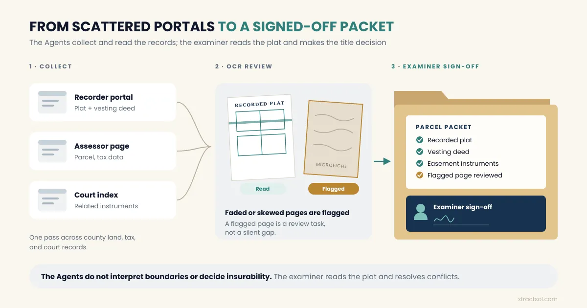
XtractSol Agents search county land, tax, and court records and assemble the plat, deed, and related instruments. County coverage varies, so the examiner confirms the right documents came back. For the full process, see our automated title search guide.
Read the recorded pages and flag weak images
OCR reads the recorded documents. Pages it cannot read cleanly, such as faded microfiche or skewed scans, are flagged for the examiner as a review task, not a silent gap.
Put the file in front of the examiner
The examiner receives an organized packet and reviews instead of gathering.
Keep the human decision where it belongs
XtractSol Agents prepare the search package from public records; examiners make every title decision. XtractSol Agents do not verify ownership, interpret boundaries, or decide insurability. The examiner reads the plat, resolves conflicts, and decides whether a requirement is satisfied.
Implementation and Operational Considerations
Start with the counties that create the most rework. Map which portals return plat images and which need a manual request. Define the packet for each property type: the vesting deed, recorded plat, and easement or right-of-way instruments. Train examiners to check the recording reference.
Paper plats, microfiche, and hand-indexed books still exist, and OCR will flag the pages it cannot read cleanly. Keep the chain of title review separate from collection so accountability stays with the examiner.
Conclusion
Plat maps anchor the legal description, expose easements, and keep a title search pointed at the right parcel. The work gets expensive when examiners gather records from a patchwork of county systems. Automation helps most at collection, where an organized packet and a clear flag for poor images save time. XtractSol Agents gather records; the examiner reads the plat, judges the risk, and makes the title decision.
See where AI fits in your title workflow.
Book a Free 30-Minute Workflow Review
Frequently Asked Questions
No. A plat map is a recorded subdivision map showing lots, blocks, streets, and easements. A land survey measures one parcel on the ground for a purpose.
Start with the county recorder or register of deeds. Search by subdivision name, then lot and block. Online plat indexes help, but the recorded image is the reference.
A plat map is the recorded drawing of a subdivision. A legal description is the wording in a deed or commitment that identifies the parcel by lot and block or metes and bounds.
About the Author
Usama Muneer, Founder & CEO, XtractSol. Usama writes about title search operations, public records, and practical automation for title and escrow teams.
XtractSol Agents prepare the search package from public records; examiners make every title decision.
See where AI fits in your title workflow.
Stay Updated
Get the latest insights on AI and automation delivered to your inbox.
See where AI fits in your title workflow.
Stay Updated
Get the latest insights on AI and automation delivered to your inbox.
More posts
Product notes, how we build, and what we are learning.
Title Search
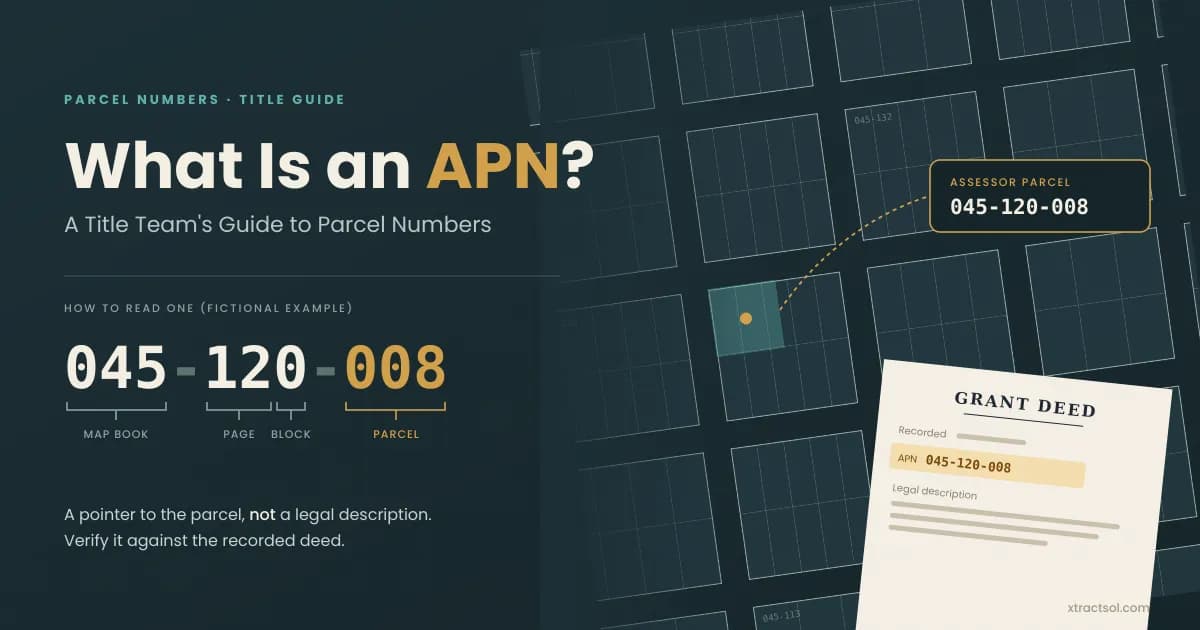
What Is an APN? A Guide to Assessor Parcel Numbers
Learn what is an APN is, how title teams find an assessor parcel number by address, and why splits, mergers, and county formats can change a property search.
Read more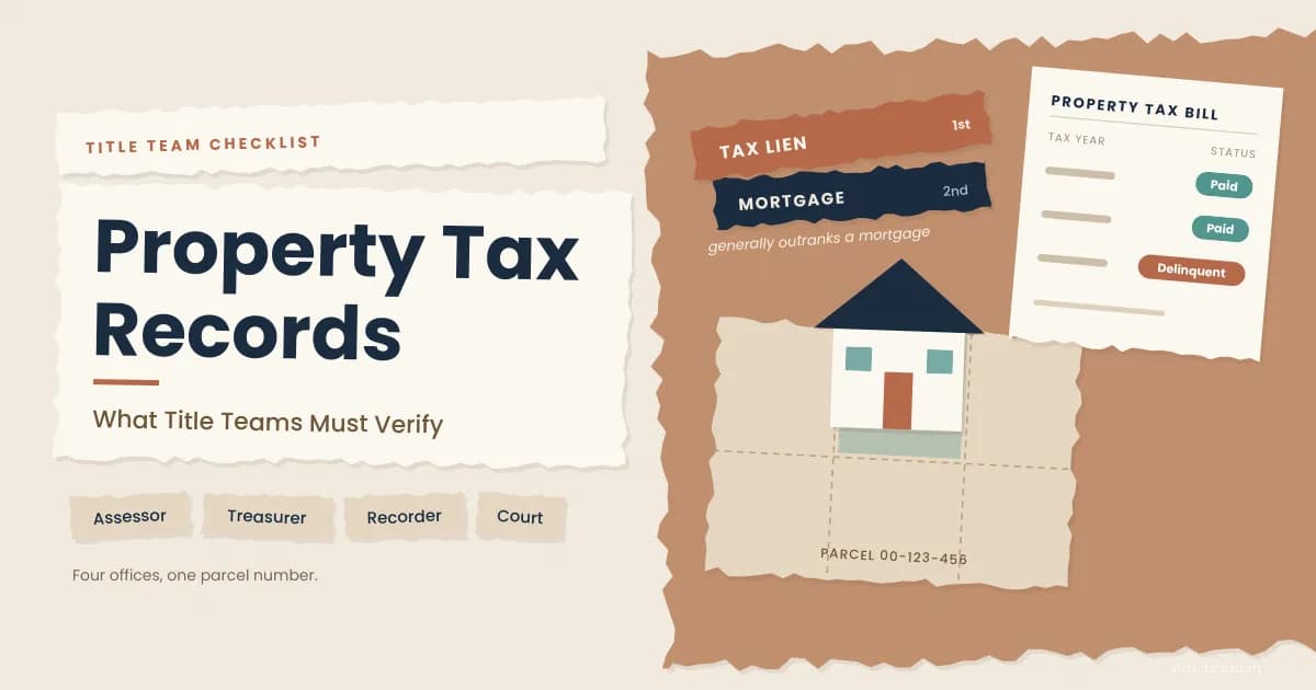
Title Search
Property Tax Records: What Title Teams Must Verify
Learn how property tax records work for title teams, from assessor and treasurer searches to delinquent tax liens, assessed value, and closing prorations.
Read more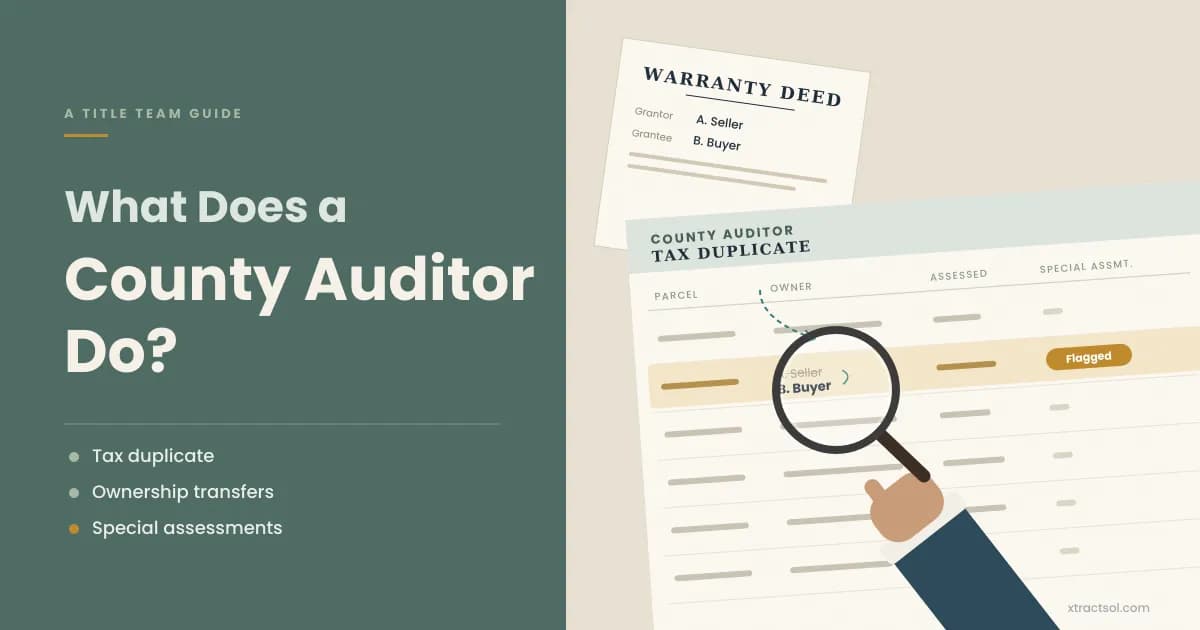
Title Search
What Does a County Auditor Do? A Guide for Title Teams
What does a county auditor do in real estate? Learn how auditor and assessor duties differ, and how title teams verify transfers, prorations, and assessments.
Read more
Ready to get started?
30 minutes. You walk us through how one file moves from order to closing, and we send a one-page note on the 2-3 steps worth automating first. Nothing to send us.